Snowshoeing
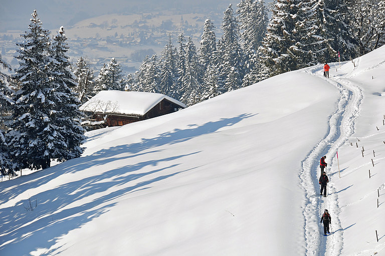
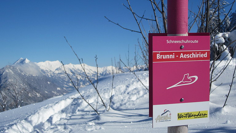
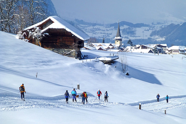
Discover the magical winter landscape of Aeschi on snowshoes! We have marked two beautiful routes for you, all you need to do is follow the marker poles. For safety reasons, and to protect the wild animals, we ask you not to leave the marked routes!
Our tip: Treat yourself to a break in one of our restaurants before, after or during the snowshoe tour.

Brunni-Trail (C)
From the Aeschiried schoolhouse Postbus terminus, the route leads north-east around a group of houses. It continues gently uphill through open terrain over the Aeschiallmend. A wonderful view of the Kandertal opens up.
In order to continue gaining altitude comfortably in the somewhat steeper terrain, follow the summer road up to Alp Bireberg. Leave the path at the hut and continue to climb across open terrain. The route now follows the ridge with fantastic views of Lake Thun and Lake Brienz, as well as the Kandertal. The Greberegg invites you to take a breather before you master the last steep ascent to Alp Brunni (no food available). At the foot of the Morgenberghorn enjoy the magnificent panorama of mountains, lakes and the nearby towns. The same route takes you back to Aeschiried.
Start: Aeschiried, Schoolhouse | End: Aeschiried, Schoolhouse
Distance: 11.6 km | Markings: red dot

Aeschiried-Trail (B)
From the Aeschiried schoolhouse post bus terminus, the route heads north-east, past the ski lift car park to Windegg, where it turns sharp left and runs parallel to the winter hiking trail for a while. As you continue downhill across the open terrain, a wonderful view of Lake Thun opens up.
Below the training ski lift, the route leads slightly uphill to the right and continues down a large lefthand bend to just above the plateau alleys. We continue west to the first houses in the Tannenmattli district.
Turning left, the route runs parallel to the winter hiking trail heading towards Aeschiried. Below the Chemihütte restaurant you climb up between 2 houses onto the fairly flat and open field. Past a chapel on the left, slightly uphill, you get to the Aeschiried school building and a bit further on back to where you started.
current condition Aeschiried Trail
Start: Aeschiried, Schoolhouse | End: Aeschiried, Schoolhouse
Distance: 2.2 km | Markings: blue dot

